What it Means for Climate Change
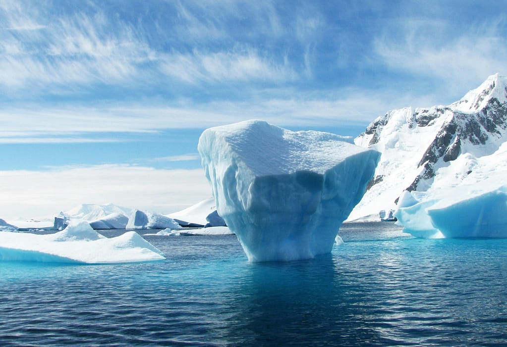
A groundbreaking seafloor mapping project has revealed 332 submarine canyon networks beneath Antarctica, some deeper than the Grand Canyon. These vast underwater systems play a crucial role in shaping ice-shelf stability, regulating ocean circulation, and influencing global sea-level rise.
As an Independent Environmental Researcher, I see this discovery not just as a global breakthrough, but as a reminder of how much remains to be understood about the systems beneath our feet, and below the waves.
The Discovery: Over 300 Canyons Beneath the Ice
Researchers used high-resolution IBCSO v2 bathymetric data and advanced detection tools to map previously hidden seafloor features. In total, they identified over 3,291 stream segments across 332 canyon networks, far surpassing earlier estimates.
In East Antarctica, the canyons are complex and branching, shaped into wide U-shaped forms. In West Antarctica, the canyons are steeper, shorter, and V-shaped, indicating a different geologic and glacial history. Some canyons plunge more than 4,000 meters into the seafloor.
These features are not static. They actively channel sediment, nutrients, and water, forming critical conduits between the open ocean and the base of ice shelves.
Why These Canyons Matter for Climate Change Studies
Submarine canyons are key to understanding how Antarctica interacts with the global climate system. They serve as underwater highways that transport warm deep-ocean water toward ice shelves, accelerating basal melting.
These processes are essential to predicting:
- Ice shelf thinning and glacier retreat
- Changes in ocean circulation (especially Antarctic Bottom Water formation)
- Global sea-level rise
The challenge is that current climate models don’t account for these canyons in much detail. With this new map, scientists now have a framework to integrate these features into their simulations, improving accuracy and long-term forecasts.
Read more from the University of Barcelona
Connections to John Jaeger’s Environmental Research
While the Antarctic feels distant, the patterns at play are surprisingly familiar.
In my work on shellfish mariculture and soil invertebrate ecosystems, I’ve seen how sediment transport, nutrient cycling, and habitat structures shape biodiversity. Coastal estuaries, like those along the South Shore, are miniature versions of these larger systems—governed by the same principles.
Just as deep-sea canyons shape ice melt and ocean flows, shallow-water channels and benthic layers influence water quality and species survival in aquaculture systems.
There’s value in understanding both. Whether mentoring STEM students or developing biodiversity assessments, this discovery reinforces the importance of looking deeper.
What’s Next?
Only about 27% of the world’s seafloor has been mapped in high resolution. As more of the ocean is charted, we’ll likely uncover more canyons, and more questions.
For researchers, educators, and policymakers alike, the task is clear:
- Integrate canyon data into climate models
- Support high-resolution mapping globally
- Explore how large-scale ocean processes connect to local ecosystems
Antarctica’s canyon networks aren’t just geological marvels. They’re keys to unlocking the future of Earth’s climate.
Leave a Reply